

Raise: Cumbria Community Forest

In 2024, Crossbill Forestry developed a planting opportunity model for Cumbria to support the development of a 25-year plan for the Cumbria Community Forest.
In addition to producing the analysis, accompanying reports and an interactive web map, a bespoke QGIS plug-in was also created for the Raise team.
This custom software allows the model to be be continually updated in-house by the Raise team, meaning the opportunity map can be adjusted to run scenarios, and agilely updated whenever new data becomes available - all without incurring additional consultancy fees.
Keep reading to find out more.


Launched in 2022, and covering over 3,595 square kilometres, the Cumbria Community Forest hugs the western edge of the Lake District National Park and stretches from Carlisle in the north to Barrow-in-Furness in the south.
Project Background
At the start of 2024, Raise – the organisation behind the Cumbria Community forest – commissioned an ambitious mapping project, with the objective of identifying areas of high and low priority for tree planting within their forest footprint, to help inform their 25-year strategic plan.
Similar projects have been undertaken before, but Raise’s vision was different. In addition to mapping ‘sensitivity’, they also sought to map ‘opportunity’ based on the community forest’s objectives – where will tree planting bring the biggest social and environmental benefits?
Raise also recognised that such maps represent a fixed point in time (based on the best data available at the time of computation) and become out of date almost as soon as they are published. For this reason, they specifically wanted an opportunity model that would be iterable, and able to be:
-
Updated - as and when new data becomes available
-
Adjusted - to run scenarios and consider their impacts
-
Re-deployed - on custom areas
Keep reading to find out how we did it

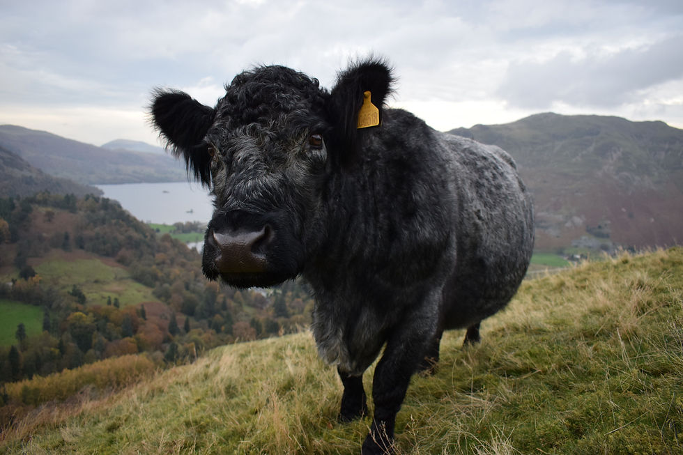
Ullswater, Cumbria
Part 1: Modelling planting opportunity
Where in Cumbria can we plant?
Where in Cumbria should we plant?
The objective of our model was to answer these two questions as robustly as possible, in a way that is clear and straightforward to explain to stakeholders.
The above interactive map shows the results of the planting opportunity model. For a full-screen version, click here.
The starting point for the production of this was a review of existing data and previous approaches taken by other community forest organisations. Many input datasets were considered, and this list was rationalised to keep the outputs as simple as possible, without compromising precision or accuracy.
These data were converted to a common format and resolution before being indexed to a geospatial database. A rule-based model was then applied to these data, the output of which was a ‘heatmap’, at 10m resolution, showing planting opportunity based on the number of the strategic objectives which would be met in each location, masked by any constraints to planting.

This heatmap was then summarized through zonal statistics on a hexagon grid at 2.5km centres. This aggregation of underlying values provided a more interpretable and actionable output, whilst mitigating any error which may have existed in the model assumptions or in the underlying input data. The hexagon grid was further classified into five ‘opportunity’ categories.
These opportunity scores, which are a function of both land availability, and the potential to achieve objectives, helped the Raise team to review the suitability of the CCF footprint, and assign indicative woodland planting targets to each of the five categories. This approach retains local flexibility in each spatial unit, whilst steering planting – at a landscape scale - towards areas where the potential to achieve the CCF’s strategic objectives is greatest.

Part 2: Building a repeatable workflow
Millions of geographic features were input into the planting opportunity model, and a key requirement was that the processing should run on mid-range PCs. The workflow needed to handle this volume of data efficiently.
Another requirement was that non-technical users should be able to update the model (via a graphical user interface) to integrate new data, or adjust the parameters.
Version 1 of the model was implemented in Python using dask and xarray. These parallel processing libraries - which are more commonly used in geospatial applications to process large time series of satellite imagery - allow large volumes of raster data to be processed efficiently.
The model can run custom, user defined areas (including really big ones!), and it can cope with input datasets of differing resolution and extents. The model 'chunks' the analysis area into manageable subsets, so it can process extremely large areas (including the entire county of Cumbria) whilst using minimal memory on the user's machine.
The next step was to incorporate this Python script into a QGIS plugin, to allow users to interact with a familiar graphical user interface (GUI).
A GUI was created using the QGIS Python API (PyQGIS) which captures user inputs (including area of interest, any additional input layers and model parameters) and then runs the Python script in a Docker container which contains all of the script's dependencies.

So, how will this be used?
Let's imagine that it is 6 months from now. One of Cumbria's planning authorities has just released an updated GIS dataset showing housing allocations. These are areas that we want to exclude as 'unplantable', so the release of these new data means the original opportunity map is now out of date.
Armed with this tool, a member of the Raise team can load the updated dataset into QGIS, open the mapping tool, and select "new housing allocations" as an additional input layer. If appropriate, they can also remove the now-out-dated layer from the data stack.
When they click run, an updated version of the planting opportunity model will be produced for the full Cumbria Community Forest footprint after around a minute of processing time.
There is an old expression in forestry that "the worst plan you can have, is the plan that you finish". As new, better data becomes available, old data becomes obsolete, and policies change, the model can change with the times as well.